Simplify the geospatial data management process and manage your assets with confidence and precision. Join the geoRÄISE revolution today and experience the power of geovisualization!
Revolutionize the way you work, access, and interact with data!
Cross-Platform Ecosystem
Reach new heights with your data! With geoRÄISE, you can access your data on both web and mobile platforms, including iOS and Android. Our ecosystem is designed to be accessible and ready for everyone, regardless of their platform or device!
Create, Visualize & Collaborate
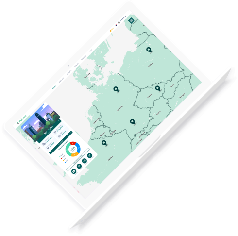
Unlock the power of collaboration! With geoRÄISE, you can create your own user accounts, teams and workflows, and geovisualize your physical assets. You can even share access with your clients, ensuring that everyone is on the same page and well-informed.
Various Data Supports
No data is too complex! geoRÄISE can geovisualize all kinds of asset data, not just images and videos. We adopt a geospatial-driven approach, ensuring that your physical assets are accurately represented in their digital twins.
Feature Highlights
End-to-End Ecosystem
Our integrated product ecosystem covers everything from on-site data collection with geoRÄISE Sync to presenting data in Augmented Reality (AR). With geoRÄISE, you can view your data on-the-go via our mobile app or in web browser using geoRÄISE Web Viewer.
geoRÄISE Sync
geoRÄISE Mobile
geoRÄISE Web
geoRÄISE AR
Smart Annotation
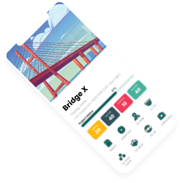
Our AI-assisted annotation tool makes annotating inspection or mapping data a breeze. Highlight any issues and bring them to your team’s attention for the next escalation process with ease.
Monitor your asset’s aerial changes with ease using our integrated geoRÄISE time series. Compare before and after data for construction monitoring, deforestation, land use change, and more!
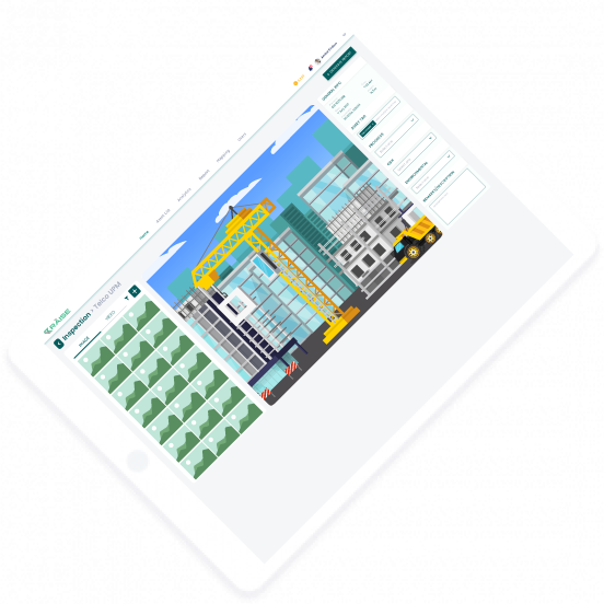
Don’t leave your inspection process unattended. Create your own users and teams, define your own inspection workflow, and track any open issues until completion and closing.
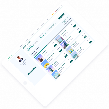
Report made easy! Generate reports seamlessly with geoRÄISE, highlighting findings and areas of concern. Share reports with stakeholders and notify them of the next actions.
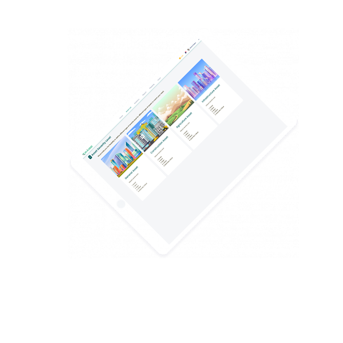
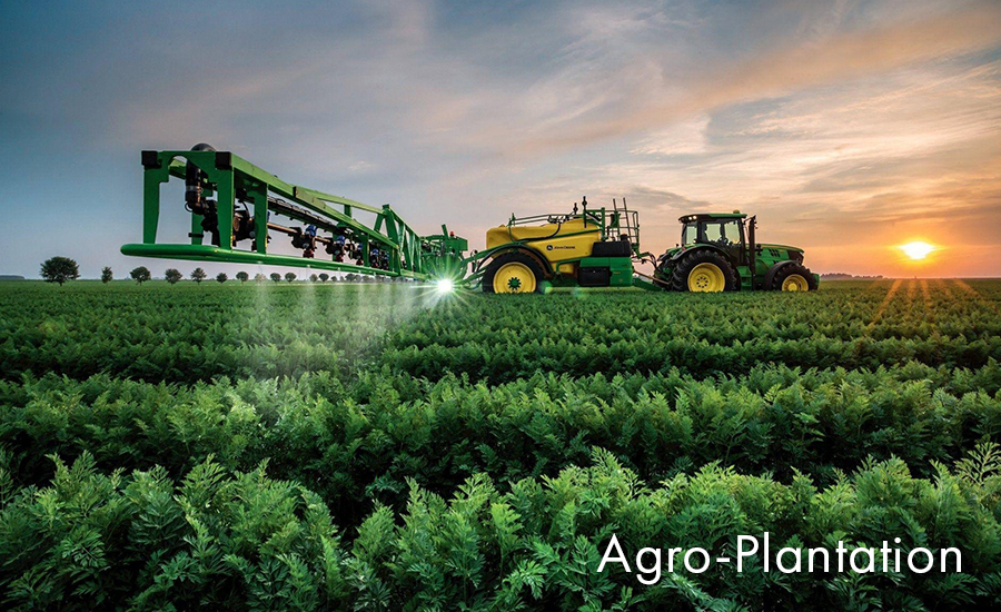
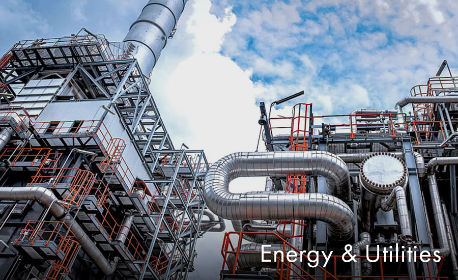
Our platform is designed to seamlessly manage a wide range of assets across various sectors. From construction to agriculture, geoRÄISE is the ultimate geovisualization tool for all your data needs. Don’t let asset diversity hold you back – streamline your operations with geoRÄISE today!
geoRÄISE is not just an online data platform,
it is an online data ECOSYSTEM !
Interested?
Get started now to manage your assets within your ecosystem in just 4 easy steps!